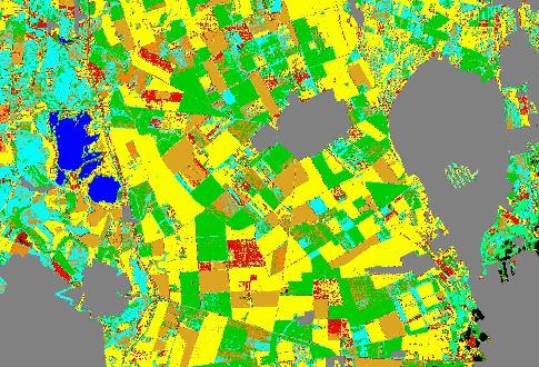
Using satellite images it is possible to investigate large area e.g. whole counties - also in agricultural point of view. On the images taken by the satellite sensors e.g. LANDSAT MSS & TM, NOAA AVHRR the growing of plants can be traced and the stresses are also detected.
We have developped a method for the estimation of maximum crop yield - in the growing period of the plant - before the harvest. This method is still experimental but it can be involved also for operational use.
Correction software packages were built and used for separation of surface and atmosperic effects on satellite images mainly for vegetation monitoring use (ATMOYE (Landsat MSS), ACABA (Landsat TM), ATMAVHRR (NOAA AVHRR)). The new ACABA algorithm was used successfully with opeartive circumstances for atmospheric correction of Landsat TM images.
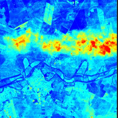
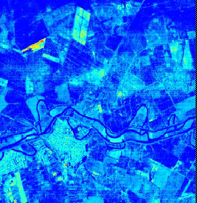
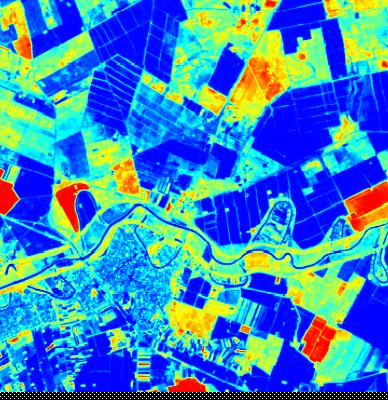
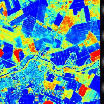
LANDSAT TM image over South-East Hungary, 2 May 1992.
Raw Band 1 image
Corrected Band 1 image by ACABA algorithm
Standard Tasseled Cap Greenness image
ACABA Greenness image
Now this algorithm gives corrected surface reflectance values too, besides of the corrected vegetation indices.
This algorithm was used in the building of a yield estimation model, in which the high-resolution images are
used only for getting the surface references in.
The estimation of the predicted yield is based on the NOAA AVHRR low resolution data.

 United States Department of Agriculture (USA)